EN
EN PT
PT
 EN
EN
 PT
PT
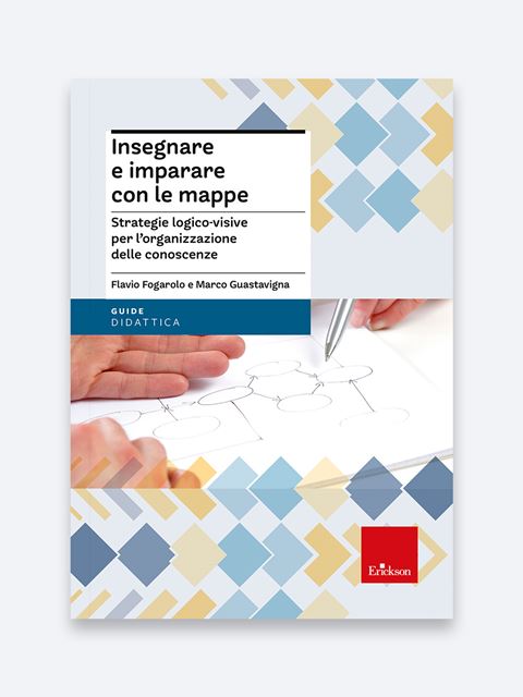
Logical-visual strategies for organising knowledge
Product: Book
Trim size in cm: 17x24
Pages: 270
ISBN: 9788859003380
Publication date: 01/09/2013
Suitable for: Primary 1st level (ages 6-7), Primary 2nd level (ages 8-10), Lower secondary 1st level (ages 10-11), Lower secondary 2nd level (ages 12-13), Upper secondary 1st level (ages 14-16), Upper secondary 2nd level (ages 17-19)
REQUEST A SAMPLE OR MORE INFORMATION
We have been using maps on a large scale in our schools now for several years and they are considered almost as an indicator of cultural modernity and methodological innovation. They are used in curricular teaching as well as for revision and support.
But how do you create a map that is really effective? How can it be used in a way that is useful and advantageous for students? How can you prevent it from becoming, instead of a tool for growth and exploration, just another burden for students?
The book is devoted to the didactic and educational use of maps, as tools capable of supporting learning through visual, logical and functional organisation of one’s knowledge.
The book analyzes and compares the most effective types of graphic representation, each with a different logical-visual model and with a different cognitive purpose.
The book also provides a number of practical suggestions to improve the effectiveness of maps as compensative mean for pupils with learning difficulties or an inadequate method of study, as well as to reduce the risks involved in using them as a facilitator: trivialization of content, rote learning, students’ passive attitude.
- Logical-visual strategies for maps
- Maps and learning strategies
- Maps and teaching
- Maps between compensation and facilitation
- Digital tools